

| |
| Silver Peak viewed from the Pole Creek/ Deep Creek divide |
The Pole Creek trailhead is on Hwy. 89, 2.3 miles north of Squaw Valley and 6.2 miles south of I-80, 1/4 mile south of the "Elevation 6000'" sign, on the west (non-river) side of the road. Parking here (free) is rather limited, so arrive early.
Most people ski in directly from the parking area, and take a meandering route that meets and crosses Pole Creek two miles later. However, a more direct route is to go south 1/4 mile, back to the "Elevation 6000'" sign, and ski up from there, following Pole Creek; it's about a mile to the bridge where you join the longer, more popular route.

| |
| Mark Chin dropping down into upper Pole Creek |
The next day, you could retrace your route back to the car, but that would be too easy. Instead, return to the Pole Creek drainage, dropping down to the 7600' meadow (or you could try a higher traverse above 8000', but it probably won't save you any effort), and ascend Silver Peak's northwest side.

| |
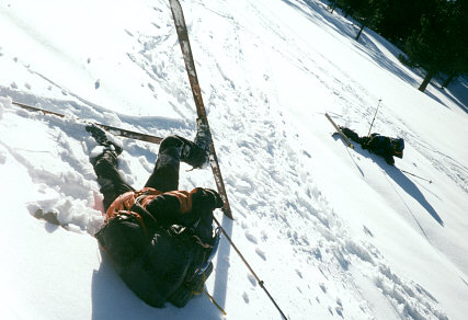
| Fun with breakable crust |
General info and disclaimer about backcountry skiing